
The rain isn't done with the Island, and a third storm is already lining up
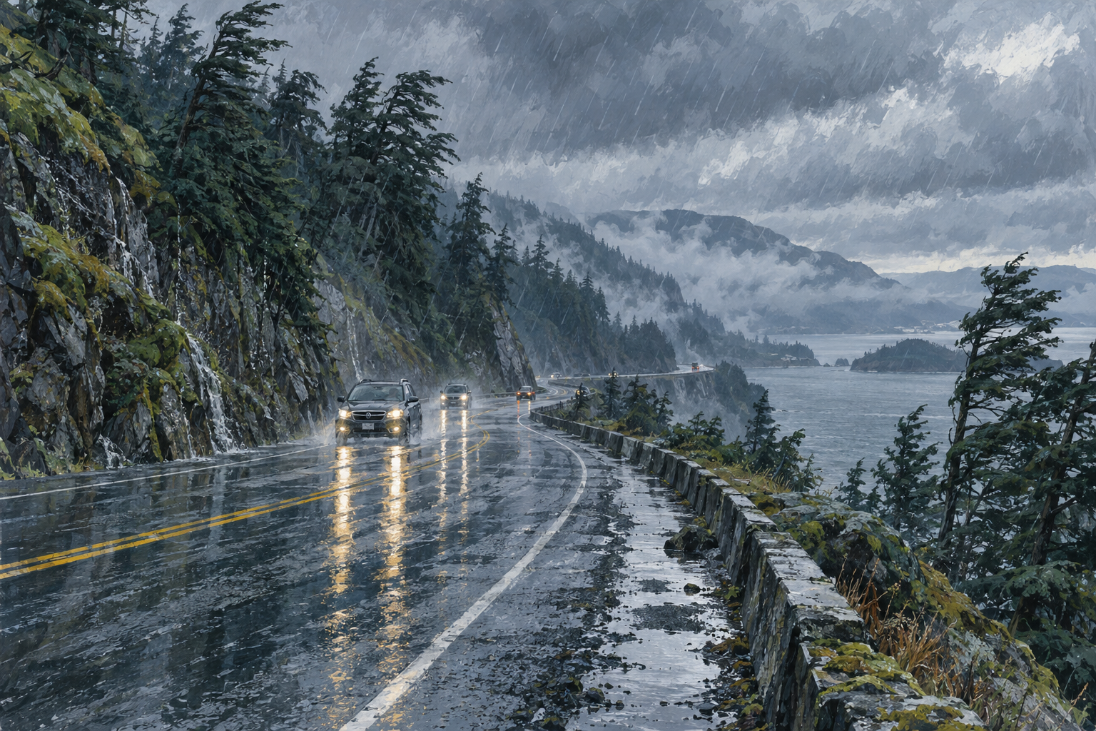
AI-generated illustration
Another atmospheric river parked over Vancouver Island this week, and the ground was already soaked before it arrived. Environment Canada issued a rare orange rainfall warning for western and central parts of the Island, forecasting 150 to 200 mm, with some spots potentially passing 250 mm by Thursday morning.
Greater Victoria caught the edge of it. A yellow wind warning went up Tuesday afternoon for southeasterly gusts up to 90 km/h near Haro Strait, though Victoria's rain shadow spared it the worst of the downpour. By Wednesday morning most of the Island was under a flood watch, with the South Island on a high streamflow advisory.
The BC River Forecast Centre is watching the Port Alberni area, the Zeballos-to-Gold River stretch, and Tofino to Port Renfrew most closely. Forecasters warned that high tides and storm surge could worsen flooding near river mouths on eastern Vancouver Island. And there's no clean break coming: another weather system is expected to reach the Island Friday.
The weekend's storms had already knocked out power to roughly 415,000 BC Hydro customers at some point since Friday and left one person dead in Surrey. Dave Campbell of the River Forecast Centre had a blunt reminder for drivers: floodwaters hide washed-out road, and cars get swept away.
